East Hawdon and the Savannah Range
With only a week left of my summer holidays, I was both keen to get out and about yet struggling to find companions to join me. I decided on the East Hawdon as a destination, and was left with myself as company...
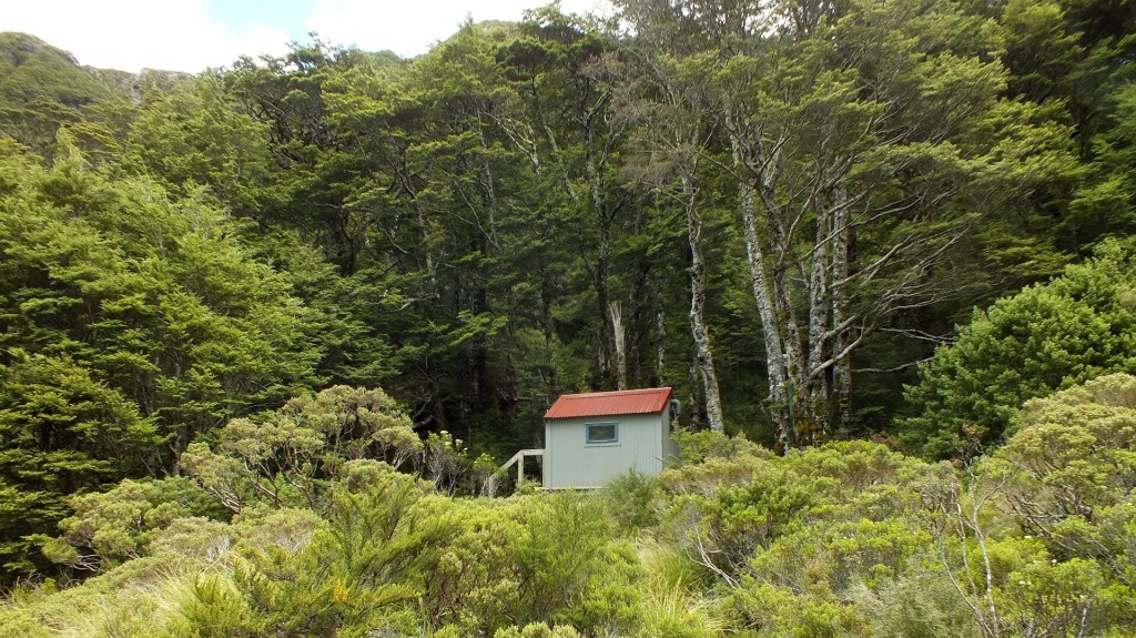
Getting to East Hawdon biv is a fairly straightforward affair - you simply stroll up the Hawdon valley, hang a right after ~5kms, stroll up through the gorge via the path of least resistance (another ~5kms) and you arrive some three hours after you set off. I was pleased to see that there was plenty of trapping going on in this area and it seems to be paying off - I observed several orange fronted parakeets in the lower Hawdon Valley, although they were quite shy and I was disappointed not to be able to photograph them. With plenty of time to spare, I set about reading a book in the sunshine for the rest of the day.
Day two arrived with a smattering of early low cloud. My initial goal for the day was to climb Mt Valiant at the head of the valley, then return via the Blackball Ridge. I decided this wasn't going to be very difficult, so I opted to return via the Savannah Range instead. From what I could glean from the hut book, very few people (if anyone at all) had traversed from Mt Valiant all the way back to Woolshed Hill via the ridge (by the end of the day I had discovered why).
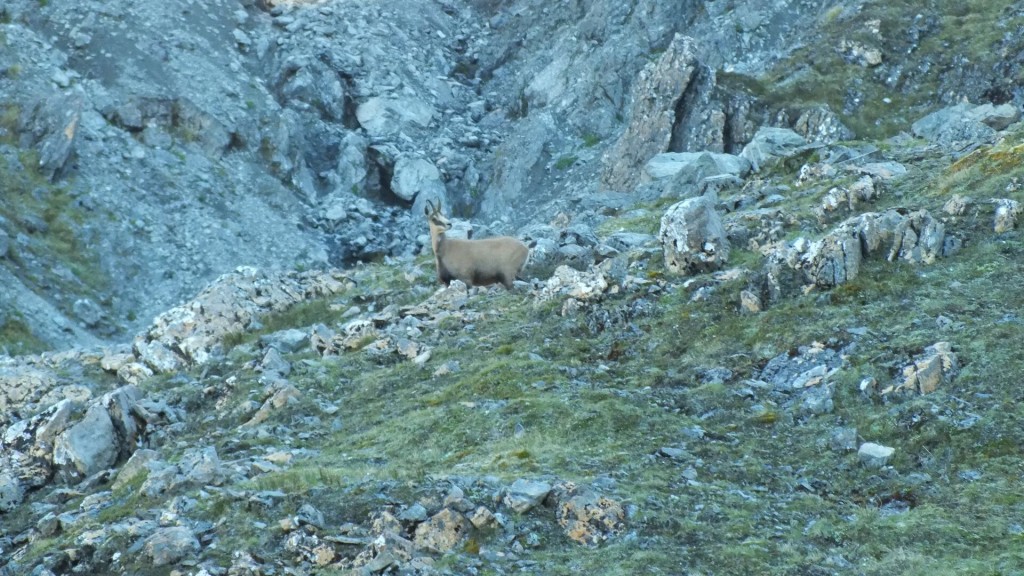
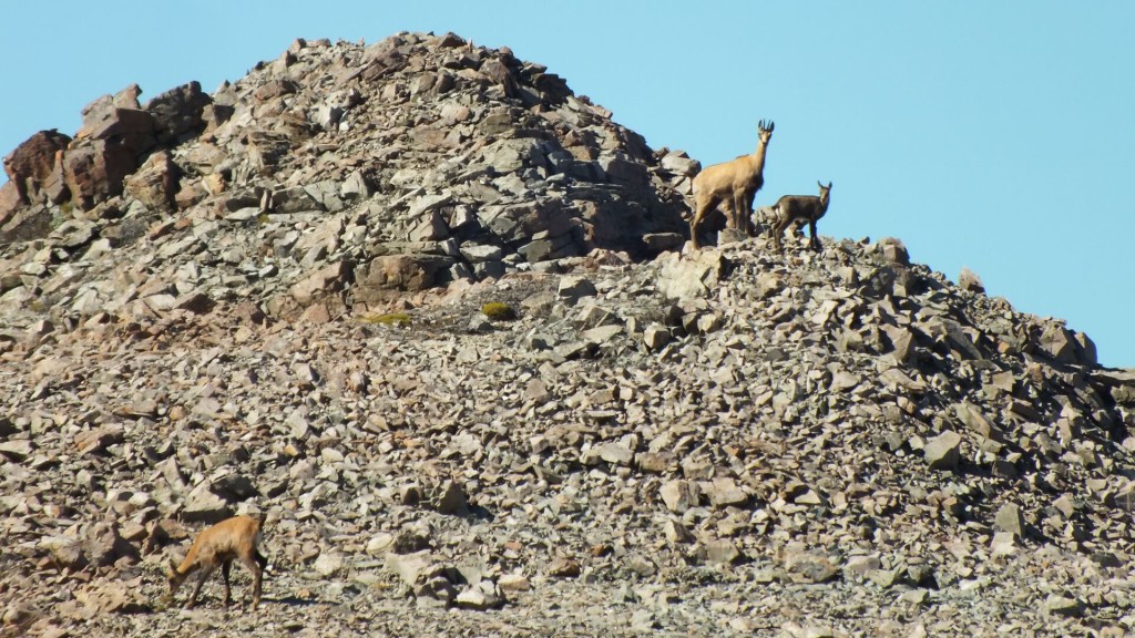
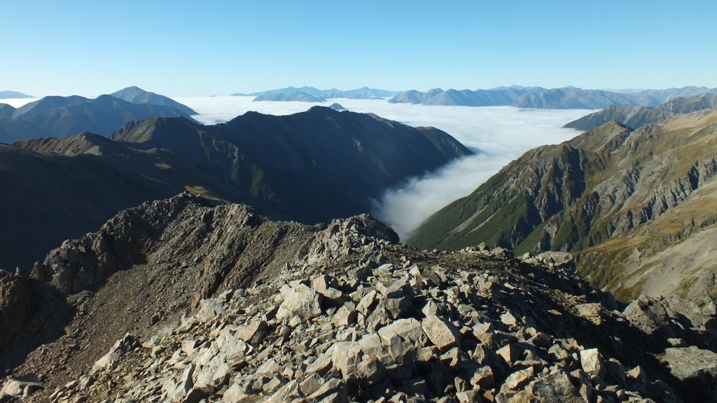
Reaching the summit of Mt Valiant took a little over 90 minutes, taking the grassy slopes and then the scree around the south west of the peak. On the way I saw 4 chamois: 1 lone male and a family of 3. I think most people head up towards point 1684 from here, but I instead decided to take a more direct approach by joining the SSW ridge to the summit (the way the 3 chamois went up). Stunning views were observed, before starting the traverse of the Savannah Range. The ridge immediately east of Mt Valiant is very rough, and I had to sidle around one section that was impassable, but from point 1732 on the ridge is all walkable/climbable, albiet on very loose and somewhat exposed rock in places.
I observed another mob of 6 chamois on the Andrews side of the range - something to come back for once the 1080 has run its course. There is almost no water available along the way (there are two mangy looking tarns which in I risked a mini slurp), which was unfortunate as I only carried 1L from the biv, which lasted me the 9 hours it took to get back to the Hawdon Valley carpark.
I'd have to say I wouldn't recommend doing this loop the same way I did it - the poor rock and occasional exposure don't make for nice tramping. Perhaps in winter it might be more inviting, or maybe doing it in the other direction and dropping down to the East Hawdon earlier.


April 22nd, 2016 at 9:46 pm
Hi there,
I have just returned from attempting this very mission, i was hoping you might be able to share some bata. I came to a point on the ridge at around the 1657m mark that i was very hesitant to climb and ended up back tracking and dropping down to the river bed via a scree slope. i was wondering if you could pass on how you did it, wether its just a matter of a bit of committed climbing on some suspect rock or if you sidled around this section. any advise would be much appreciate
many thanks Myles
April 25th, 2016 at 10:38 pm
Hi Myles
Yes I went straight over the top there, I remember it being particularly dodgy. It certainly requires clear and calm conditions, had it been windy I probably would have retreated to the valley as you did.
Cheers,
Hamish